
You open a county parcel map, switch on the aerial photo, and see the boundary running through a neighbor’s driveway. Is the driveway on your land? Has the county drawn the line incorrectly? Can you use the measurement tool to decide where a new fence should go?
A county GIS map is an excellent starting point for property research, but its parcel outline is not a boundary survey. The map can help you identify the tract, find adjoining parcel numbers, and investigate recorded information. Before using it for a purchase, fence, addition, or access decision, separate what the display suggests from what the underlying records establish.
One screen can combine several different kinds of evidence
A geographic information system, or GIS, combines map layers. The aerial photograph, parcel outline, address marker, ownership information, and zoning overlay may come from different sources and dates. Their visual alignment does not establish a shared level of accuracy.
Kitsap County, Washington, explains that its parcel lines and aerial photography use different sources and accuracy standards. It says the overlay cannot determine whether a neighbor is encroaching and that parcel maps should not be used as definitive ownership boundaries. Read the county’s cadastral mapping FAQ before interpreting a similar display as a legal conclusion.
That makes a mismatch a research question: “Which record explains this line?” Save the discrepancy and investigate its source before placing a fence or accusing a neighbor of crossing the boundary.
What our directory reveals about finding a map
We compared the GIS-link and property-search-link fields across all 3,144 county and county-equivalent records in CAD Property Search. The dataset edition is dated August 1, 2026. The results show why switching search methods can help:
| Links stored in the directory | Records | Share |
|---|---|---|
| Both GIS and property-search links | 2,440 | 77.6% |
| GIS link, no separate property-search link | 87 | 2.8% |
| Property-search link, no GIS link | 288 | 9.2% |
| Neither link recorded | 329 | 10.5% |
The especially useful group is the 87 records with a GIS route but no separate property-search route recorded. Our inference is practical: if an address search leads nowhere, a map may provide another way to select the tract and obtain its identifier. This does not mean every one of those map tools exposes ownership or assessment details.
Method: the table is calculated directly from the dataset powering this site. A link counts when its trimmed stored value starts with HTTP or HTTPS. Each record appears in exactly one row; the denominator is directory records, not parcels, households, or population. We have not tested every portal’s current uptime, measured its accuracy, or inventoried its layers. A missing link means our reviewed record lacks that route, not that no local map exists. See our methodology and the broader property-portal data study.
A reliable parcel-map workflow
1. Match the property before interpreting its outline
Start from the local government’s mapping or assessor page. Search the parcel number when possible, preserving leading zeros. If you start with an address, click inside the parcel and compare the identifier, physical location, and description with the assessment record. An address pin by itself is not enough.
The USGS parcel-viewer guide recommends combining these tools with other sources and checking imagery dates. It also distinguishes a structure’s physical address from an owner’s mailing address. For identifier formats, use our APN, PIN, AIN, and BBL guide.
2. Read the legend and dates before measuring
Write down the parcel-layer update date, aerial-image capture date, and any tax-roll year displayed. If a date is unavailable, record that uncertainty. Turn layers off and on individually so you know whether a colored line represents a tax parcel, zoning district, easement, or another feature.
Use a map measurement as an approximate research note. Label it “GIS estimate” and preserve the scale and units. A result displayed to two decimal places is not proof of survey precision. For a high-stakes dimension, obtain the supporting document and have the relevant professional interpret it.
3. Collect the records that answer your actual question
| Your question | Useful next step |
|---|---|
| Where can I place a fence? | Ask a licensed land surveyor about locating the boundary; ask the permitting office about applicable fence rules. |
| Does the driveway provide legal access? | Request the recorded access instruments and title review; a visible road does not answer the legal-rights question. |
| Can I build an addition here? | Ask planning staff for parcel-specific zoning, setbacks, overlays, and permit requirements; provide a survey when required. |
| Which acreage should I use? | Compare the assessor’s figure, recorded description or plat, and survey; identify the source of each number. |
| Is the tax account paid? | Open the collector’s account for the same parcel and year. A map’s value field is not a payment receipt. |
California’s licensing board describes locating boundaries, retracing easements, setting corners, and investigating boundary discrepancies as professional land-surveying services in its consumer guide. When hiring a surveyor, explain the decision you need to make and agree on the documents and field work the service will include.
Three map details that deserve a second look
A road beside the lot
Do not infer the edge of a right-of-way by measuring from the pavement or painted centerline. Kitsap County’s mapping guidance explains that the traveled road can occupy only part of the right-of-way corridor. For access research, ask for the relevant recorded documents and confirm their application to the tract rather than relying on the appearance of a driveway.
A flood layer that stops short of the house
Use the FEMA Flood Map Service Center to check the official flood-map information, and ask the local floodplain administrator which effective mapping and amendments apply. FEMA identifies this service as the official public source for National Flood Insurance Program map information in its map-reading training.
A county screenshot is a starting point for that check, and being outside a mapped high-risk area does not establish zero flood risk. The National Flood Insurance Program’s flood-risk guidance emphasizes that flooding can happen anywhere.
A lot that recently split or merged
Ask the assessor which parcel numbers are active for the year you are researching, and ask the mapping office when the recorded change entered its layer. Save the parent and successor identifiers with the recording reference. If the map and tax search disagree, describe the specific mismatch instead of assuming the visually newer page controls.
A five-minute evidence packet that makes follow-up easier
Before closing the map, save the parcel number, map URL, access date, visible layer dates, legend, and a screenshot showing the selected tract. Add the assessment record and any deed, plat, or survey reference you already have. Keep the question specific: “Does recorded plat X explain the east boundary shown here?” is more useful than “Is your map wrong?”
Send a suspected display or parcel-label problem to the mapping office. Take a boundary-location question to a licensed surveyor, a title or access-rights question to a title professional or real-estate attorney, and a buildability question to the responsible planning office. This sequence lets the map do what it does well: help you find the right evidence and the right person to interpret it.
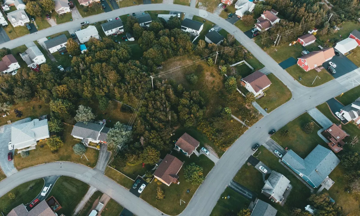
Official guidance reviewed September 29, 2026. The hero photograph is illustrative; it is not a surveyed parcel map or an example of the directory analysis.
Find the official map and assessment search for your jurisdiction.
Find your county’s parcel tools