
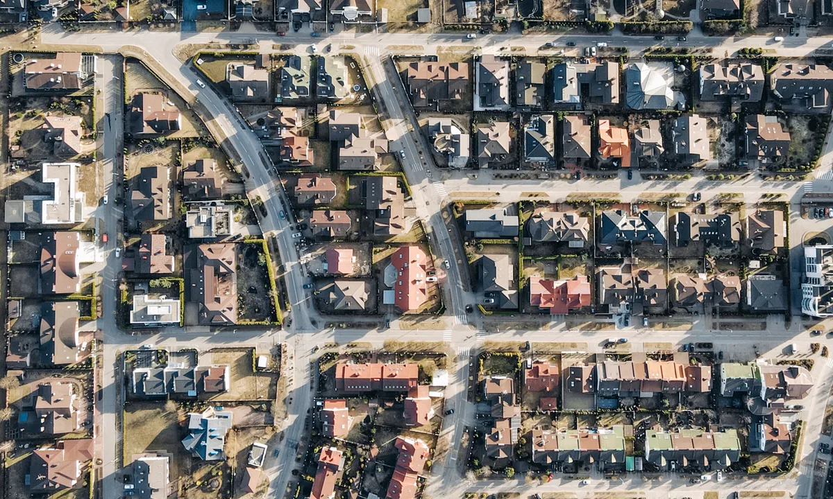
A street address is designed to help people find a building. A parcel number is designed to help a local land and tax system identify a piece of real property. That difference explains why the parcel identifier is usually the better key when you are comparing assessments, retrieving a bill, checking a payment, or researching land with no conventional address.
The hard part is vocabulary. Depending on the jurisdiction, the same general concept may be called an APN (assessor’s parcel number), PIN (property index or identification number), AIN (assessor’s identification number), parcel ID, tax map number, account number, or—in New York City—a BBL (borough-block-lot). Those terms are not guaranteed to be interchangeable, so use the exact label printed by the local office.
What a parcel number does—and does not—prove
A parcel number connects a mapped tax parcel to records used for assessment and collection. It can be highly specific without being a universal legal identifier. It does not replace a deed’s legal description, prove who holds title, establish a surveyed boundary, or necessarily identify a building, utility account, or individual condominium project as a whole.
That distinction matters. One mailing address can contain several taxable parcels. One parcel can also carry several addresses, multiple structures, or no assigned street address. A condominium may have a separate tax parcel for each unit, while parking or common areas may have their own identifiers.
Three real formats show why guessing fails
- Los Angeles County AIN: the county describes a 10-digit identifier made from a four-digit map book, three-digit page, and three-digit parcel number—for example, 1234-567-890. The county also treats AIN and APN as synonymous in this context. See the Los Angeles County Property Tax Portal explanation.
- Cook County PIN: the treasurer describes a unique 14-digit sequence tied to the legal description of each piece of real estate, including vacant lots, parking spaces, and condominium common areas. The Cook County PIN guide warns that paying the wrong PIN does not cure the delinquency on the parcel actually owned.
- New York City BBL: the identifier combines a one-digit borough code, five-digit block, and four-digit lot. An official city example formats Queens borough 4, block 234, lot 56 as 4002340056. The NYC Department of Buildings guide also shows why leading zeros matter.
These examples are useful for understanding structure, not for decoding a number from another jurisdiction. A string that looks geographic in one county may be an internal sequence in the next.
Where to find the correct identifier
- The official assessor or appraisal record. Search by situs address, then copy the parcel identifier exactly as displayed.
- The current or prior tax bill. Look near labels such as parcel, property ID, account, folio, tax map, APN, PIN, or AIN.
- The official GIS parcel map. Select the parcel polygon and inspect its attribute panel. Be sure you clicked the land parcel rather than an address point or building footprint.
- The deed or title report. The identifier may appear on the first page, cover sheet, tax statement address, or legal-description exhibit. Confirm that it is not a parent or former parcel.
- The assessing office. For vacant land, new construction, recent splits, or an address that the portal cannot find, staff may need a legal description or recording reference.
A five-point identity check before you rely on a record
A search result is a candidate until its details line up. Compare:
- the parcel number, including leading zeros, suffixes, and punctuation;
- the situs address, unit, and directional prefix or suffix;
- the municipality, subdivision, lot, block, section, or legal-description fragment;
- the map location and neighboring streets; and
- the tax year or assessment date shown.
Owner name is a useful sixth check, but it is not always the best one. Trusts, estates, recent transfers, spelling conventions, and fixed annual assessment dates can make a legitimate record display a name you do not expect.
Why a parcel search returns nothing
The portal wants digits only
Try the exact printed form first. If that fails, follow the portal’s prompt about removing dashes, dots, spaces, or leading segments. Do not remove leading zeros unless the official interface tells you to; New York City’s 10-digit BBL format, for example, requires them.
You have a tax account number, not the assessor’s parcel number
A bill can show several identifiers. The collector may index payments by a bill, roll, or account number while the assessor and GIS use a parcel number. Match the field label to the search box rather than pasting every number until one returns a result.
The parcel changed
Subdivision, lot-line adjustment, combination, annexation, or condominium creation can retire an identifier or create successors. Alabama’s state property-tax guidance, for example, explains that a sell-off can receive the original parcel number plus a decimal identifier. The rule is local, but the broader lesson is national: parcel numbers can change when the land record changes. See the Alabama Department of Revenue’s mapping explanation.
The address is too new—or formatted differently
New subdivisions may receive a parcel identifier before the situs address propagates through public systems. Conversely, a search engine may require “County Road 12” instead of “12 County Rd,” or may store the mailing city instead of the community name residents use.
Do not use the GIS line as a fence line
A county GIS is excellent for orientation and neighboring-parcel research, but the line on a web map can be generalized, shifted relative to aerial imagery, or compiled for assessment rather than boundary determination. If the question concerns an encroachment, fence, setback, construction location, easement, or dispute, obtain the recorded documents and advice from an appropriately licensed local survey professional.
Even the parcel identifier itself should be checked against the legal description when the stakes are high. Los Angeles County’s public parcel layer, for example, stores separate AIN and APN fields; an apparently minor formatting difference can reflect how a particular system models the same parcel.
Build a parcel “identity card” once
After verifying the property, save a short reference note containing:
- the parcel identifier in its official display format and digits-only format;
- the situs and tax-mailing addresses;
- the assessment and collector account numbers, if different;
- links to the official property, GIS, tax, and land-record pages;
- the current legal-description fragment and recording reference; and
- the date each item was checked.
This small file prevents one of the most expensive ordinary errors in property-tax administration: researching, appealing, or paying the account next door because its address or owner name looked almost right.
Find the official property search and GIS map for your jurisdiction.
Open the county directory